Idaho Lidar Plan 2.0 available HERE and at https://gis.idaho.gov/elevation-technical-working-group
The Idaho Lidar Consortium (ILC) is the technical lead for lidar and the state lidar champion. The ILC was first established in 2013 and has been paramount for the initiation and upkeep of continued lidar data acquisition throughout the State of Idaho. Continuous statewide lidar data for Idaho is publicly shared through this website.

Existing Data
View available lidar data and derived products
Need Help Downloading?
Setting up a GLOBUS account & Troubleshooting

“Wishlist” and Collaboration
Do you have data to share, or looking to collect data?
Resources
Find other website resources to create your perfect project
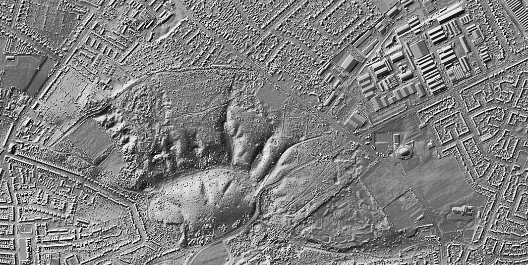
Why Use Lidar?
Lidar is one of the most important geospatial innovations of the 21st century. Providing a detailed picture of the earth’s surface and everything on it, elevation and surface data derived from lidar are the foundation for disaster assessment and mitigation efforts, agriculture techniques that save time and resources, and siting of new transportation infrastructure. These are just three examples of the many well-documented benefits that lidar has for the State of Idaho.
Check out this “Mapping for Resilience” Story Map as an example of the benefits of using lidar in Idaho’s dynamic landscape:
